Commute Flow Explorer
How do workers flow between places I choose to compare?
What it answers
How do workers flow between places I choose to compare?
For: Planners, researchers and anyone studying commutes around a transit stop, job center or catchment area.
What is inside
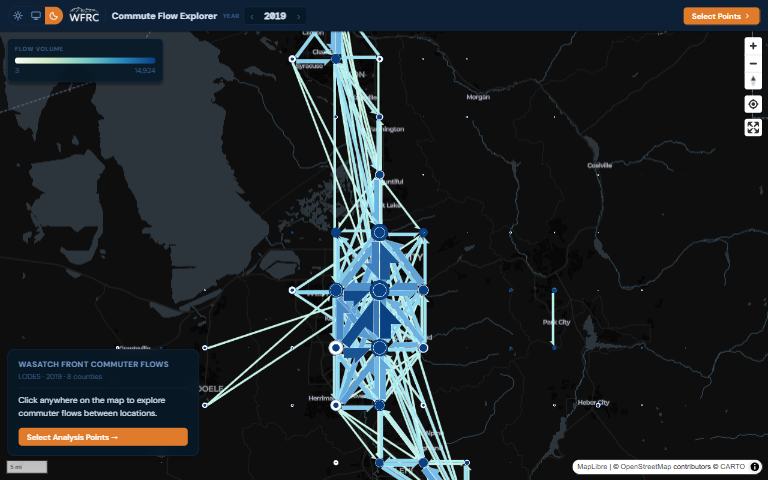
- A region-wide flow map that breaks into detail as you zoom in.
- Place 2 to 10 points anywhere on the map and see commute flows between them, with a table of wages and industries for each origin and destination pair.
- A year slider from 2002 to 2023, covering eight Wasatch Front counties.
- Queries run in your browser, so there is no server or account.
Where the data comes from
- US Census Bureau LEHD origin-destination employment statistics (LODES 8), filtered to the Wasatch Front counties.
- County boundaries from Census TIGER/Line files.
About this tool
| Type | App |
| Status | Live |
| Last updated | June 30, 2026 (latest change to the source code) |
| Terms | WFRC’s material is licensed CC BY 4.0; data from other sources keeps its own terms. See the terms of use. |
How to cite
Wasatch Front Regional Council. (2026). Commute Flow Explorer [Online tool]. https://wfrcanalytics.github.io/APP-Commute-Explorer/
Questions or problems?
Email analytics@wfrc.utah.gov or open an issue on the source repository. See also all apps and maps.