Statewide ATO and VMT Map
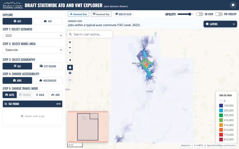
How do access to opportunities and vehicle miles traveled compare across all of Utah’s travel models?
What it answers
How do access to opportunities and vehicle miles traveled compare across all of Utah’s travel models?
For: Planners and modelers comparing model areas around the state.
What is inside
- A web map of access to opportunities (ATO) and VMT for every model in the state.
- Simplified traffic-zone polygons, one feature per model area and zone, with values by year.
Where the data comes from
- Raw outputs and zone shapefiles from each statewide model, processed by the numbered scripts in the repository.
About this tool
| Type | Map |
| Status | Live |
| Last updated | August 14, 2026 (latest change to the source code) |
| Terms | WFRC’s material is licensed CC BY 4.0; data from other sources keeps its own terms. See the terms of use. |
How to cite
Wasatch Front Regional Council. (2026). Statewide ATO and VMT Map [Online tool]. https://wfrcanalytics.github.io/MAP-Statewide-ATO-VMT/
Questions or problems?
Email analytics@wfrc.utah.gov or open an issue on the source repository. See also all apps and maps.